After serving the traveling public faithfully since 1941, the North Burbank Underpass on San Fernando Blvd in Burbank will close permanently on May 20, 2014. It is one of the more significant structures on old US 99 in the San Fernando Valley. Somewhat ironically, the structure will be replaced with a new interchange at Empire Ave. San Fernando Blvd will be rerouted back to its pre-1941 alignment, this time without a grade crossing. So, get out there and take your pictures while you can. Do the same for any other sections of old highway. You never really know how long they will last.
On a trip to Grapevine Canyon today, I saw quite a few poppies in bloom. Grapevine Canyon and the area around the California Poppy Reserve were quite spectacular, considering the dry winter. The recent rains, which have been well timed, seemed to have made the drought a little prettier to look at.
Deadman’s Curve and PoppiesPoppies high on the canyon walls in Grapevine Canyon.
On April 4, 2010, a 7.2 earthquake struck the northern Baja California and Southern California region. I was in Oceanside at a friends house at the time. Initially, I didn’t feel it and thought the others at the party were joking. We had been talking about the Northridge Earthquake earlier in the day. Once I stepped out onto the patio, I felt the ground moving. I knew it was large but farther away. My first thought was – What just happened to Los Angeles? Instead of Los Angeles, it was the Mexicali/Calexico area that got hit the worst as it was much closer to the epicenter.
Map showing the earthquake and affected area.
Wanting to survey the damage to the roadways in that area and see if any of the old bridges were damaged, I headed out the following weekend. As it was also springtime, parts of the desert were in bloom. The ocotillo in particular had a beautiful display of flowers. To get out there, I followed Hwy 80 out to the Desert View Tower. After talking with Ben, the owner, I headed out to Calexico following Hwy 80 and Hwy 98. I was hoping to see cracks in Hwy 98 from any fault movement but did not find any.
Blooming ocotillo along Hwy 98 in the Yuha Desert.Closeup of the blooms.
In Calexico, many buildings were damaged with a large portion of the older downtown area closed off until the buildings could be stabilized. The biggest damage I saw was at a hotel in the northwestern end of downtown. Parts of the walls and roof had collapsed.
An empty and closed off downtown Calexico.Partially collapsed roof and wall in Calexico.Damaged Hotel De Anza in Calexico.Front of Hotel De Anza showing some damage.Partially collapsed facade of the Hotel De Anza.
Returning from Calexico, I stopped at a few bridges to see the fill on each side had settled, causing some cracking in the pavement. Additional cracks were spotted at the New River crossing on old US 80. Overall, the highways were lightly damaged with some concrete broken at some bridges.
Typical settlement repair at the Westside Canal bridge on State 98.Settled dirt at the edge of the Westside Canal at State 98.Both sides of the New River trench show settlement on US 80.Cracked pavement on old US 80 at the New River.Cracking in pavement and soil from settling at the edge of the New River trench.
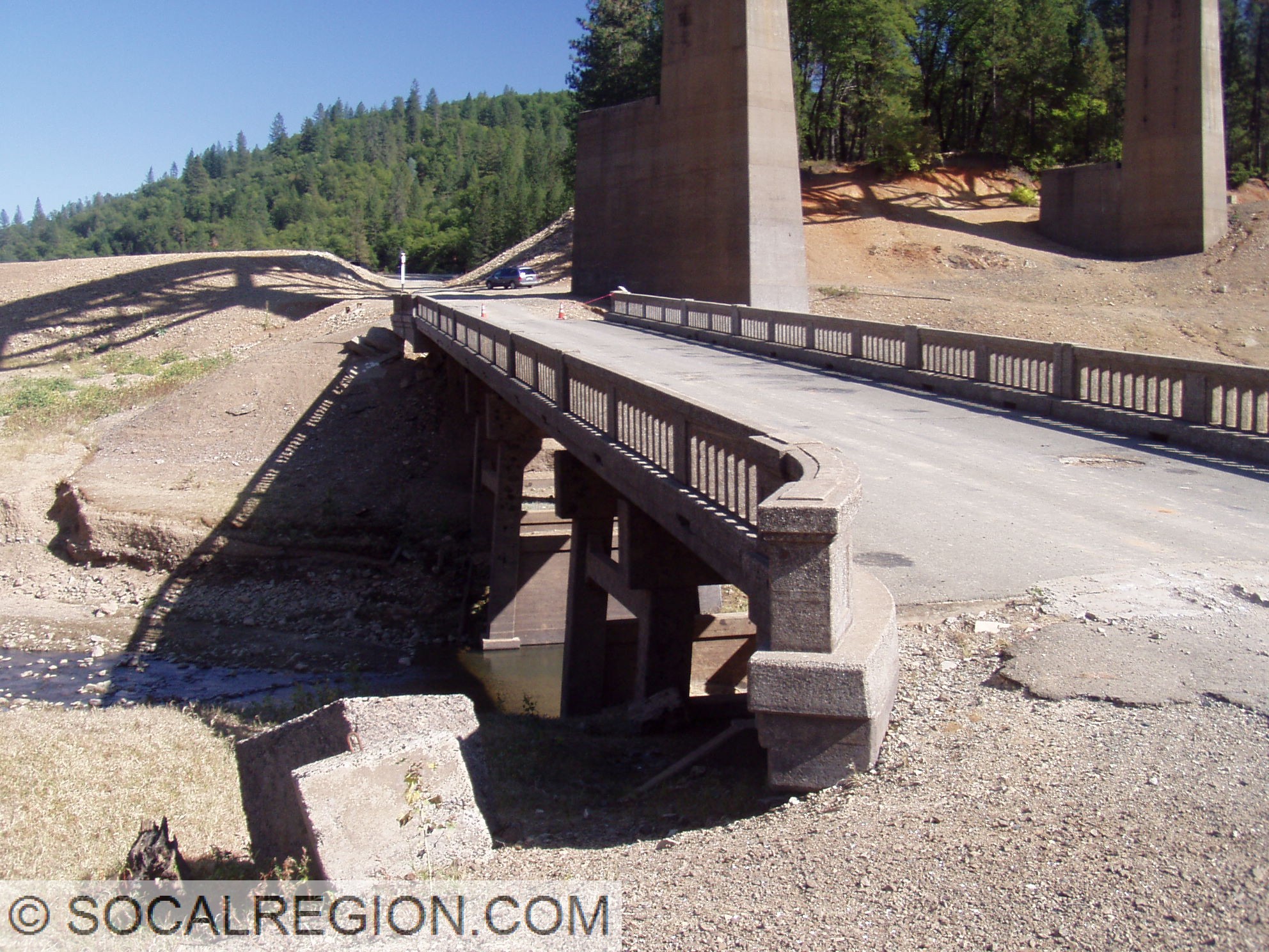
In October 2008, Lake Shasta was dropping to near historic lows. I took a trip up there to hike many of the exposed alignments. I also got out in the water in my wetsuit when I needed to. The whole trip was a lot of fun. Here are the photos from that trip.
Salt Creek Inlet and Lakehead Area:
Pit River Area:
Where US 99 goes into the lake on the south bank near the Pit River Bridge.
One of my interests is old highways. I’ve followed old US 99 and US 6 in Southern California for many years. A trip on the old “Ridge Route” between Castaic and Gorman was always a treat. I got be curious about how they looked when they were new, why they were built, and who built them. The journey that has taken me along has greatly increased my knowledge and understanding of both the history of the highways and of Southern California. It has become something much greater to me as a result. I understand why the cities and highways are laid out as they are.
However, in searching for some of the old highways, things can get tough. Realignments can sometimes take a roadway far from its original alignment, making the original harder to find. Sometimes its very obvious where the old road went. In Southern California, a massive megalopolis exists where there was once farmland. Old alignments may be ripped up and replaced with shopping centers. Using various tools available to me, including the Internet, old maps, highway logs, and topographical maps, I’ve been able to track down quite a few alignments that you’d never know were anything special today.
You just never know when you’ll find something! Exploring old highways and byways can be a great adventure. Come join me!
Swimming to a 1901 Southern Pacific Railroad bridge and tunnel in Lake Shasta near Lakehead. October 2008.
Swimming old US 99 in 2005 at Salt Creek in Lake Shasta.
Out on old US 395 in the June Lake area in March 2009.