In the course of doing research on old US 395 and I-15 in the Miramar area, I came upon a very interesting set of plans. In 1979, a bicycle path was constructed along what is now Kearny Villa Road from Harris Plant Road to Carroll Canyon Road. While there are some details about this path still missing, such as why it was built, who was able to use it (being in a military base), and when it was closed. In time I hope to find these things out. In the meantime, I have the plans for the path itself.
Cover sheet for the I-15 Bikeway. This shows where the bikeway was built on a new alignment from Harris Plant Road to Miramar Way.
Starting at Harris Plant Road, bicyclists were directed from Kearny Villa Road, across the freeway, to Altair Road. About 1/4 mile north on Altair Road, the Class I bicycle path began. It followed Altair Road for a short distance, crossed under the freeway at San Clemente Canyon, and then followed the east side of the freeway. Once it joined with Ammo Road, it was basically a Class II bike lane. The lane followed the shoulder of I-15 from near Miramar Way all the way to Carroll Canyon Road, where it exited the freeway and terminated.
Gates at the main entrances of the Class I sections.
Signage posted at the bikeway gates. The lower sign seems to point toward a limited access to the path.
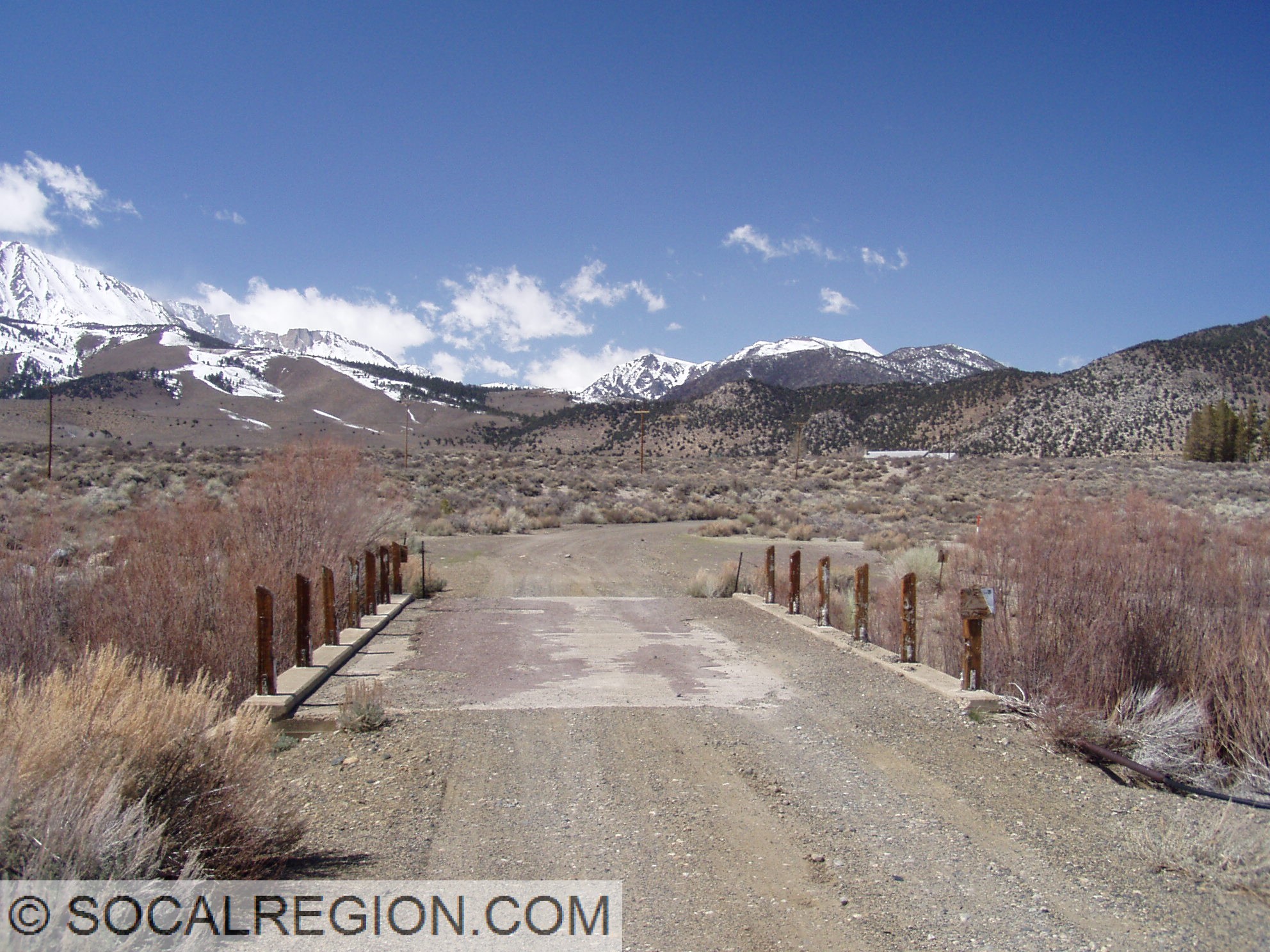
Much of the Class I sections of the path remain today, albeit closed off. I had seen the roadway many times before in aerial photography and from the ground while inspecting the old freeway. I never knew what it was, other than a rather narrow roadway. The path was the first instance of bicycle specific infrastructure in this area. It wouldn’t be the last, as the current Kearny Villa Road freeway still retains a buffered bike lane today. While it is not yet known what prompted this path to be built, it does show that Caltrans has at least been trying to help cyclists in this area for quite some time. I do find it rather interesting that the path was built just a few years before this section of freeway was bypassed. I suspect, though do not officially know, that the path was abandoned not long after the bypass in 1983. A bit more research is still necessary to determine that.
Detail of a portion of the path from Altair Road to the San Clemente Canyon bridge.
Remnant of the path near San Clemente Canyon.
Closeup of the path, with a short section of yellow centerline striping visible near the top.
On September 6, 2016, I finally got a chance to survey the damage to the roadways in Cajon Pass that were involved in the Blue Cut Fire. Portions of the area are still closed, specifically the area north of Cajon Junction, so I was unable to access the Alray UP or the abandoned expressway sections in that area.
I was, however, able to inspect State 138 east of I-15 and all of old US 66 / 91 / 395 south of Cajon Junction. I chose not to investigate State 138 west of I-15 as there was a lot of heavy construction in progress for a four-lane widening project.
I started my journey by taking the “new” Cajon Blvd alignment that bypasses Devore Junction (I-15 and I-215). Caltrans has recently completed reconstruction of this interchange and as part of that reconstruction, they have partly rebuilt Cajon Blvd through here. While much of it is a new alignment, it does follow the original alignment (pre-1937). As a result, I was able to get some nice photos of part of that alignment.
New section of Cajon Blvd adjacent of I-15, south of Kenwood Road.
Looking southerly along Cajon Blvd toward I-15.
Pre-1937 alignment of US 66 / 395 running along the base of the cliff.
The burn area itself became very apparent after Kenwood Road. The fire in this area burned as far as Keenbrook, damaging many structures in that area. A few things didn’t get burned though. One, a lone sign that says “EAT” along with its accompanying structure, remained intact. At Blue Cut, the source of the fire, I was rather amazed at what didn’t burn. Most of the cottonwood and oak trees survived untouched as well as most of the guardrail in the median of the expressway.
Just north of Kenwood Road looking toward Keenbrook. Burn area is evident near the trees in the distance as well as in the mountains.
South end of Blue Cut showing fire damage.
Looking westerly at Blue Cut. The fire burned all around here, but left most of the trees intact.
At Blue Cut, looking easterly. Despite the name of the fire, it didn’t do that much damage here.
North of Blue Cut, the burn area stops mostly at the old highway, but not east of it. The wooden railing is still intact at Debris Cone Creek. Some structures were damaged near Cajon Junction, such as the Chevron gas station and the McDonalds restaurant.
Looking northerly from the Debris Cone Creek Bridge toward Cleghorn Road. Utility crews are visible in the distance.
1939 bridge over Debris Cone Creek. Concrete K-rail was added later to protect the wooden railing.
Side view of the 1939 Debris Cone Creek Bridge with its 1952 counterpart. The cross beams in the railing were removed at some point in the past few years. The fire burnt up to the edge of the 1952 span.
Old railing just south of Cajon Junction, just missed by the fire.
After Cajon Junction, I followed State 138 east toward Summit. The burn area covered the entire highway from Cajon Junction to Summit Valley Road. This section is scheduled to be realigned in the near future as well.
Hwy 138 and the Cajon Amphitheater from Summit.
Overall, most of the old highways through the Cajon Pass remained intact. Some guardrail was damaged but most was only lightly burned. How this area will react during the next few major rain storms does remain to be seen. Hopefully, mudslides and debris flows don’t become the order of the day.