In mid-October, I went on a road trip, part of which covered a section of US 6. It was the first time I had taken US 6 on a motorcycle, let alone my US 6 plated one. I felt it was a good opportunity to take a photo.


In mid-October, I went on a road trip, part of which covered a section of US 6. It was the first time I had taken US 6 on a motorcycle, let alone my US 6 plated one. I felt it was a good opportunity to take a photo.
In doing some research recently, I found an original section of US 99 from Tipton to Tulare. It had been a while since I looked at maps of this section, as most of my research has concentrated between Los Angeles and Bakersfield. The map below shows the alignment of US 99 in 1926.

Until 1931, US 99, and by extension Legislative Route 4, went on the west side of the Southern Pacific tracks from current Ave 164 north of Tipton to Bardsley Ave in Tulare, following Tulare County Road 112. This section was most likely paved with a 20′ concrete slab around 1917.


The roadway also retains three original bridges. The two North Branch Tule River bridges (46C-0004 and 46C-0010 respectively) are from 1917 and retain their original pipe railing. Two other bridges, Elk Bayou and Bates Slough are also original, with the former dating to 1916. The telltale cracking of asphalt over concrete is also visible near the northern North Branch Tule River bridge to near Ave 184 at Octol.
The realignment in 1931 eliminated two railroad crossings without the use of bridges at the tracks. The new road was also built a little higher to help ease flooding problems that were common in the Central Valley. Today, some of the bridges built at that time still remain, albeit widened or otherwise modified.
For further information see – US 99 – Tipton

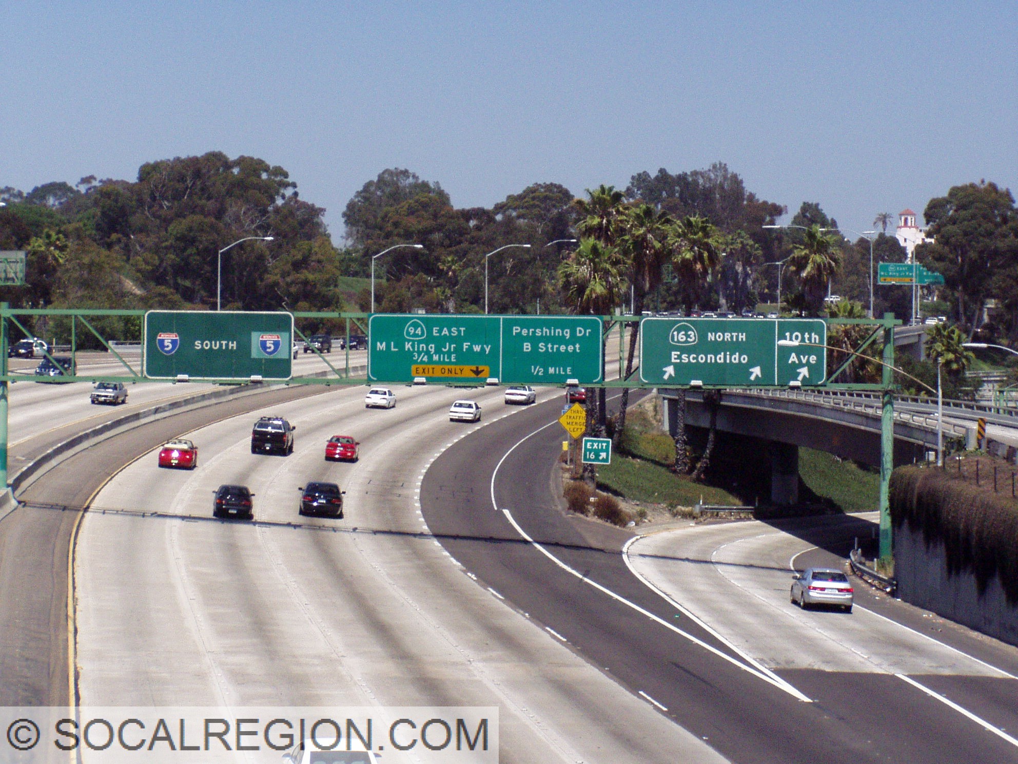
After a long hiatus, my US 466 tour is getting expanded. I recently went on a motorcycle trip covering the roadway and most of the old alignments from Morro Bay to Barstow. Watch for updates in the coming weeks as tour stops get added. At this time, the tour is more than half complete.

This is the first part of a new series on SoCalRegion where we will discuss various topics related to roadways, their design, signage, as well as other features to help assist all road users in traveling throughout California. Many of these features exist in other states, but some have a different take on things.
Roadway striping comes in a few different colors and designs. Each of these have a meaning. Even without using signs, you can use striping to help determine what is going on with a roadway. Using these clues can also help aid with navigation in unfamiliar areas.
The Basics

Let’s start with the basics. Two basic elements of striping are common throughout the United States – yellow means dividing opposing traffic and white means same direction of traffic. These colors remain nearly universal throughout all 50 states. Double striping, no matter the color, denotes a “no passing” or “no crossing” location. Passing, assuming the roadway is two lanes wide, can be done when the stripe on your side is broken. When the whole stripe is broken, both sides can pass.
Divided Roads

Multilane highways are divided in a variety of ways. When it comes to striping, there are three main types. The first is still the basic double-yellow striping. When a roadway needs a bit more of a divider, two sets of double yellow stripes are placed. These are considered “painted barriers” and are not to be crossed in any way. Some of these roadways have breaks in the striping, usually on one side only, to allow for turns onto side streets or driveways.
Common center turn lanes are another way to divide a roadway. These can exist even on two lane roadways but are more common on multilane roads. These center lanes are striped with a solid yellow line on the outside and a broken yellow line on the inside. These lanes allow both directions to make left turns.

Freeways
Freeways, while the striping is color coded the same way as regular roads, do have some different styles and meanings. Exit Only lanes, meaning lanes that will exit a freeway shortly, have something Caltrans calls – Elephant Tracks. When a lane is going to leave the freeway, the striping changes in thickness and frequency. These stripes are wider and a little more frequent than regular lane striping. It is one of the visual cues that is designed to help motorists determine if they are in the correct lane, regardless of signage.
At the exit itself, the shoulder striping in California has a unique modification. Designed to aid motorists in times of reduced visibility, the shoulder stripe has a break at the exit and flares out to mark the exit. In areas subject to heavy fog, there is an additional exit cue – reflectors. These are off to the side of the shoulder striping at intervals and are in rows of three, two, then one at the exit.


HOV lane striping is another variation found on California freeways. Until a few years ago, these lane were, in general, striped with a double set of double yellow lines, acting as a painted barrier. There were variations based on available space as well. Specific entry/exit points where marked with broken white striping. These stripes are now being changed to double white lines with broken striping at the entry/exit points.
As you can see, there are many ways to determine what is going on with a roadway without looking at signage. Striping can help guide road users in ways signage cannot. So, when you are in unfamiliar territory or in conditions where you can’t see the signs, use these clues to help direct you to where you are going. The stripes are there to help!